
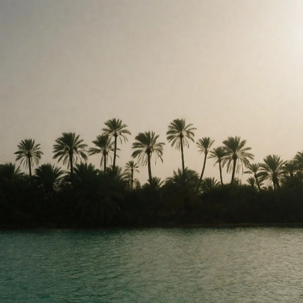
What this coastline guide covers
- 01Fringing reef systems of the Red Sea
- 02Northern Mediterranean shores and lagoons
- 03Gulf of Aqaba granite cliffs and deep walls
- 04Marine protected zones and mangrove forests
- 05Wind, water, and seasonal migration patterns
Coastal Retreats and Marine Environments
The shoreline of Egypt runs from the Mediterranean's temperate sands to the deep rift of the Red Sea. These egypt travelling guides trace the coral, the granite, and the wind that shapes every bay along the way.
A field overview of Egypt's
shoreline geography and
what this guide documents.
Where the desert ends and the water begins
The coastline of Egypt provides some of the most diverse marine ecosystems in the northern hemisphere. Stretching along the Red Sea and the Mediterranean, these areas offer a stark contrast to the inland desert. Our egypt travelling guides focus on the natural attributes of these shores, emphasizing the coral reef systems, the saline lagoons, and the coastal mountains that frame the water.
This is a guide for the independent traveller into Egypt who wants to understand what is actually underwater and along the shore. No package language, no curated perfection — just the reef drop-offs, the wind patterns, the fishing harbours, and the plant life that survives at the edge of the salt.
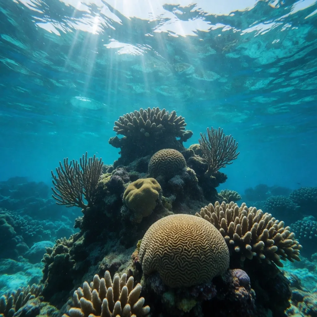
The Coral Reef Systems of the Red Sea
The fringing reefs of the Red Sea are among the oldest and most resilient in the world. Unlike many other reef systems, these corals have shown a remarkable ability to withstand rising water temperatures. Exploration here reveals hundreds of species of hard and soft corals, providing a home for diverse fish populations.
We detail the best areas for shore-based observation where the reef drop-off is accessible to independent swimmers. The key is finding bays where the reef table extends close to shore before plunging vertically — a profile that lets you swim a few strokes from the beach and reach the wall without boat support.
Discover Hidden BaysWhere the reef wall meets the sand
Each row describes a coastal zone where the reef is reachable from shore. Conditions vary with wind and season; use this as a planning reference, not a guarantee.
Sheltered southern bays
Reef tables extend 20–40 metres from shore before dropping vertically. Calm conditions persist through most of the morning. Best for swimmers building confidence near the wall. Wind picks up after midday in summer months.
Exposed central coastline
Open to northerly winds, creating choppy surface conditions and stronger currents along the wall. The coral here tends to be denser and more varied due to constant water flow. Suitable for experienced swimmers who can manage drift along the reef.
Northern lagoon edges
Shallow sandy patches with scattered coral heads rather than a continuous wall. Water depth rarely exceeds three metres. Good for relaxed observation of juvenile fish and invertebrate life. Less dramatic topography but dependable calm.
Deep-wall granite shores
The mountains reach the water with no coastal plain. The seabed drops to significant depth within a few metres of the rocks. Underwater canyons and chimneys form along the fractures. For experienced divers comfortable with vertical terrain.
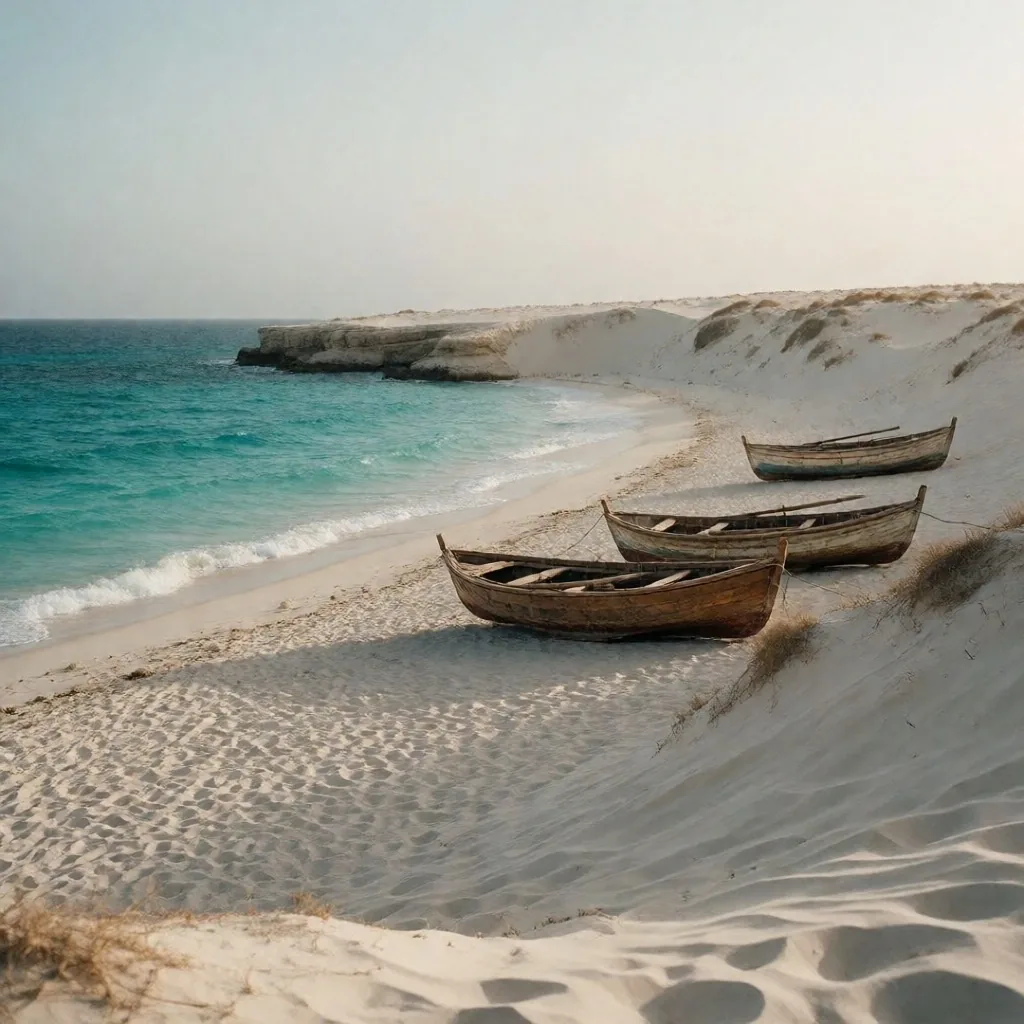
Northern Mediterranean Shores
The northern coast offers a different experience, characterized by white sand beaches and a cooler climate. The Mediterranean influence is evident in the vegetation and the seasonal rhythms of the seaside towns. Our guide looks at the lagoons near the delta and the long stretches of coastline that remain largely undeveloped.
This region is ideal for those seeking a temperate environment and a focus on maritime history. The water is darker and cooler than the Red Sea, the shore is softer, and the pace of the towns reflects a working coastline rather than a curated one. Fishing harbours still operate here, and the markets sell the morning's catch by noon.
Compare Coastal Regions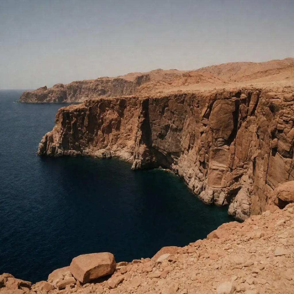
The Gulf of Aqaba and Granite Cliffs
In the northeast, the mountains drop directly into the deep waters of the Gulf of Aqaba. This creates a dramatic landscape where the desert meets the sea with almost no coastal plain. The underwater topography here is equally steep, with canyons and chimneys that attract specialized divers.
We describe the unique geography of this area and the specific conditions found in the northern reaches of the rift valley. The absence of a shallow shelf means the water cools rapidly with depth, and the light changes within a few metres of the surface. These factors shape both the coral growth and the species that pass through.
Marine Protected Areas and the mangrove line
Marine Protected Areas
Several sections of the coast are designated as protected zones to preserve the biodiversity of the region. These areas limit human impact to ensure that the mangroves and sea grass beds remain intact. Our guides explain the importance of these ecosystems in supporting the life cycles of turtles and rare marine mammals.
We provide information on how to visit these sensitive areas responsibly — which zones allow swimming, which restrict anchoring, and where to observe from the shore without entering the water at all.
Coastal Flora and Mangrove Forests
Away from the reefs, the shoreline is often home to resilient plant life. Mangrove forests serve as vital nurseries for young fish and provide a barrier against coastal erosion. These green pockets in the desert landscape are fascinating for their biological adaptations to high salinity.
Our travel guides highlight where these forests can be found and how they contribute to the health of the sea. The trees filter runoff, hold the sand in place, and create a sheltered environment that many juvenile species rely on before moving to the open reef.
Wind and Water Conditions
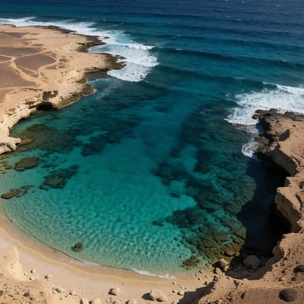
The coast is influenced by strong northerly winds, which shape the activities available in different regions. Some bays are perfectly sheltered, making them ideal for calm water observation, while others are exposed to the elements.
We provide seasonal data on wind speeds and wave heights to help you plan your coastal activities. Understanding these patterns is essential for anyone interested in water-based exploration — a bay that is flat at dawn can be unswimmable by two in the afternoon during summer.
Seaside Settlements and the coves beyond them
Seaside Settlements and Fishing Culture
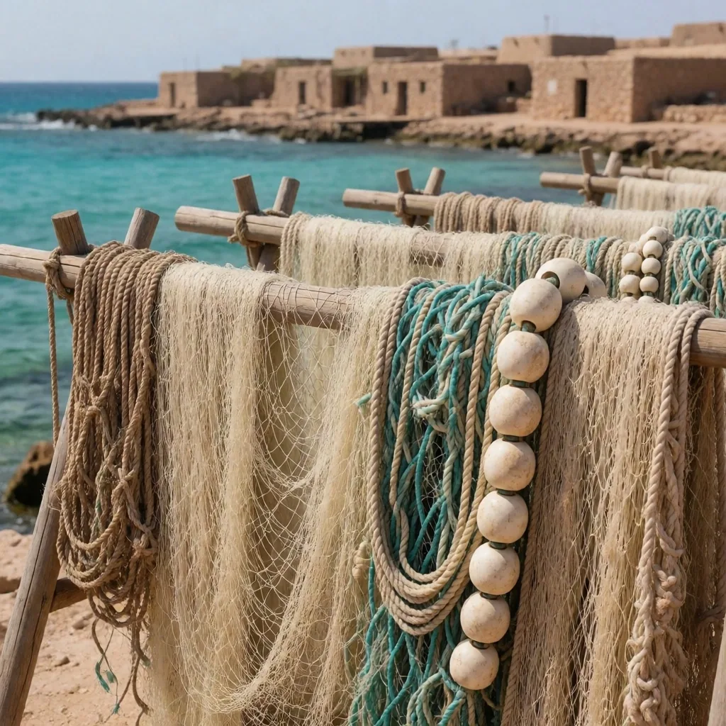
The coastal towns have a unique character shaped by their relationship with the sea. Fishing remains a primary way of life for many, and the local markets reflect the daily catch. We explore the culture of these settlements, from the shipbuilders of the north to the nomadic influences in the south. This provides a broader perspective on how the environment dictates the local economy and daily rhythm.
Diving and Snorkelling Ethics
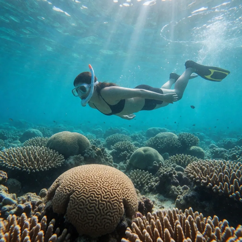
Preserving the underwater environment is a shared responsibility for every traveller into Egypt. We outline the best practices for interacting with the reef, including the avoidance of physical contact and the use of reef-safe products. Our guides emphasize the "take only pictures, leave only bubbles" philosophy.
By following these standards, independent explorers help maintain the beauty of the coast for future generations. The reef is not infrastructure — it is a living system, and the damage from a single careless kick or anchor can take decades to recover.
- Maintain at least one metre of distance from any coral formation
- Use sun protection labelled reef-safe, or wear a long-sleeved rash guard
- Do not stand on the reef, even in shallow water or when resting
- Control your buoyancy so fins do not kick the bottom or the wall
- Do not collect shells, coral fragments, or any marine life from the water or shore
Seasonal Migration of Marine Life
The Red Sea serves as a corridor for various migratory species throughout the year. Depending on the month, visitors might encounter whale sharks, manta rays, or large schools of pelagic fish. We provide a calendar of these natural events to help you time your visit. Seeing these creatures in their natural habitat is a highlight for any nature enthusiast.
Whale shark season
The largest fish in the sea passes through the northern Red Sea. Sightings cluster in the late spring and early summer when plankton blooms draw them toward the surface. Encounters are never guaranteed, but this is the window.
Manta ray passage
Manta rays appear in the southern channels, often near cleaning stations where small fish remove parasites from their wings. These are slow, graceful encounters that reward patient observation from a distance.
Pelagic schools
Large schools of jack, trevally, and barracuda form tight formations along the reef edges. The cooler water brings clearer visibility and denser aggregations. Currents can be strong during this period.
Turtle nesting
Green and hawksbill turtles come ashore on protected beaches to nest. The timing varies by site and is sensitive to disturbance. Observers should keep distance, avoid lights, and never approach a nesting turtle or her tracks.
The coast is one chapter of a larger map
Egypt Discovery Guide covers the full range of terrain a traveller into Egypt might cross. After the reefs, the routes head inland — through the desert oases, along the Nile valley, and into the older quarters of the cities. Each guide follows the same standard: plain description, practical detail, and respect for the place.
36FC+4MF, Mohammed Mazhar,
Abu Al Feda, Zamalek,
Cairo Governorate 11211, Egypt
Mon – Sun · 08:00 – 20:00