
Inland Routes — Western & Eastern Deserts
Desert Oasis Routes and Inland Exploration
The Egyptian desert covers over ninety percent of the country's landmass. These egypt travelling guides trace the depressions, dune seas, and highland wadis that shape the interior.
An Introduction to the Interior
A vast and varied landscape — not a monolithic expanse of sand
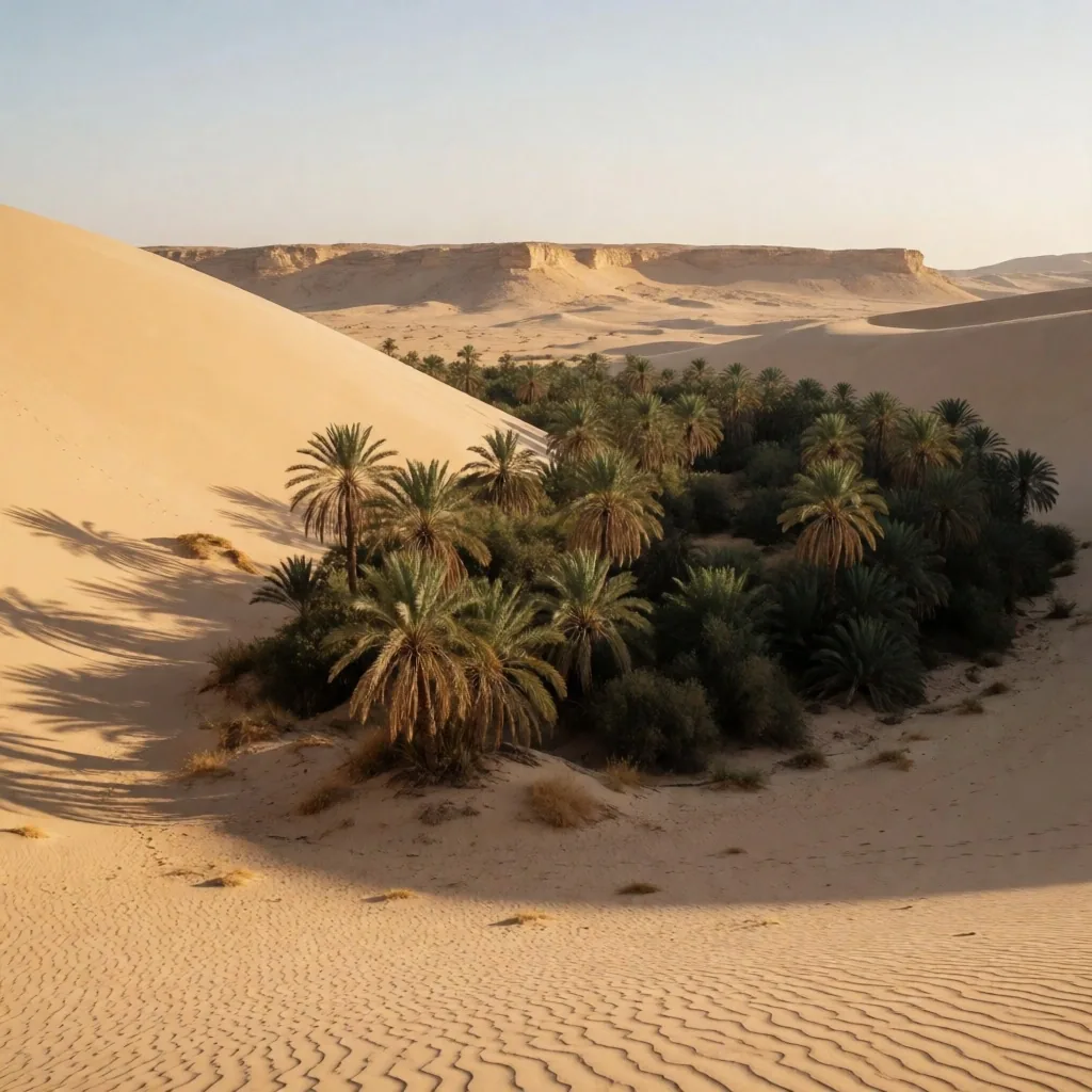
The Egyptian desert is a vast and varied landscape that covers over ninety percent of the country's landmass. Far from being a single expanse of rolling dunes, it is composed of jagged mountains, limestone plateaus, and deep depressions holding life-giving water. For any traveller into Egypt who wishes to go beyond the Nile corridor, the interior offers a completely different country.
These travel guides are designed for those who wish to understand the geology, history, and survival strategies of the inland regions. The desert rewards preparation. Distances between water sources are long, temperatures swing sharply between day and night, and the terrain changes character every few dozen kilometers. Reading the landscape — recognizing where rock gives way to sand, where a wadi might carry flash water, where an oasis palm line signals a spring — turns a crossing from endurance into understanding.
The pages below cover the major regions, the oases that anchor them, and the practical knowledge needed to travel through them safely. We treat the desert as a living environment rather than an empty one: home to foxes, ibex, acacia trees, and communities whose water-management systems predate modern engineering by millennia.
Route Ledger
What This Guide Covers
Chapter One — The Green Islands
The Western Desert Depressions
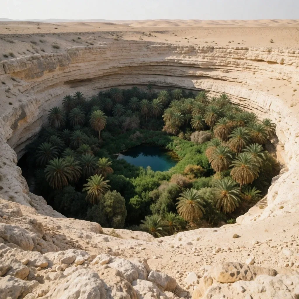
The Western Desert is characterized by a series of deep depressions that drop below sea level. These basins tap into the massive Nubian Sandstone Aquifer, creating the oases that have sustained human life for millennia. The aquifer holds ancient fossil water — rainfall that fell on these lands tens of thousands of years ago, slowly migrating through porous sandstone layers.
We explore the geography of these basins, from the massive dunes of the Great Sand Sea to the palm groves of the remote interior. Each depression has its own character: some are wide and shallow with extensive cultivation, others are narrow and walled by steep escarpments. The major routes that connect these green islands follow ancient tracks, many of which still serve the same purpose they did for camel caravans — linking water source to water source across stony plains.
Travellers moving between oases should understand that the depressions are not random features. They are structural — carved by wind over millions of years where the rock was weakest. Reading the geology helps you read the route.
Chapter Two — Contrasting Landscapes
The White and Black Deserts
One of the most visually striking areas of the interior is the Farafra region, where wind-eroded limestone has created fantastic white shapes. These formations — chalk towers, mushrooms, and ridges sculpted by countless sand-laden windstorms — rise from a flat pale floor that reflects light hard enough to make sunglasses essential by midday. Walking among them feels less like geology and more like architecture.
Nearby, volcanic activity in the distant past has left a landscape covered in black dolerite. The contrast is immediate: white chalk plains give way to dark, angular gravel pavements where the stone is dense and iron-rich. The dolerite fragments weather into sharp-edged cobbles that absorb heat through the day and radiate it well into the evening.
We explain the geological processes that created these contrasting environments. Understanding the rock formations adds a layer of depth to the visual experience of the desert. The white chalk is a seabed — laid down when this area was under an ocean. The black dolerite is a fissure eruption — lava that pushed through cracks and solidified on the surface. Standing between the two, you stand on a boundary between two deep-time chapters.
White Desert
Wind-carved limestone chalk formations. Soft, pale, reflective. Best photographed at dawn and dusk when shadows define the shapes.
Black Desert
Dolerite fragments from ancient eruptions. Dark, angular, heat-retaining. The sharp contrast marks a shift in deep-time geology.
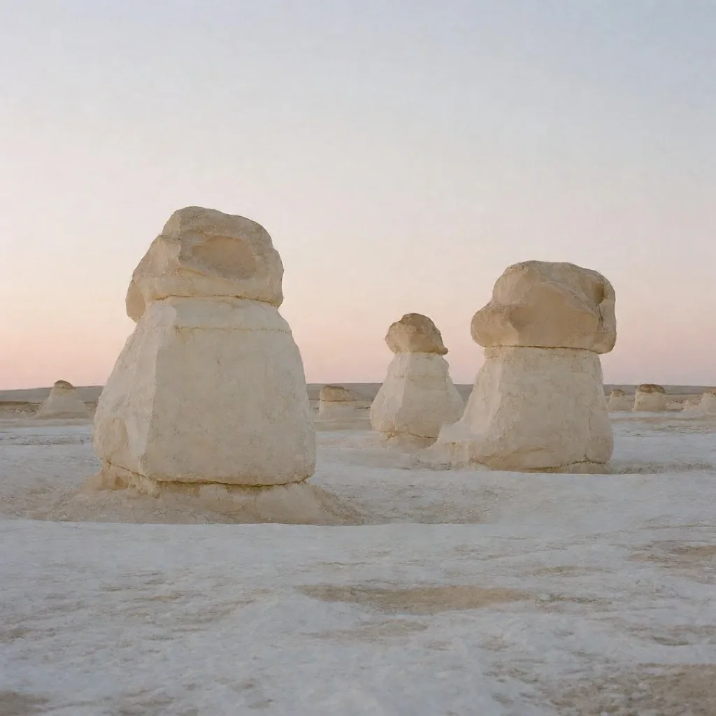
White chalk formations of the Farafra depression — sculpted by prevailing wind carrying abrasive sand.
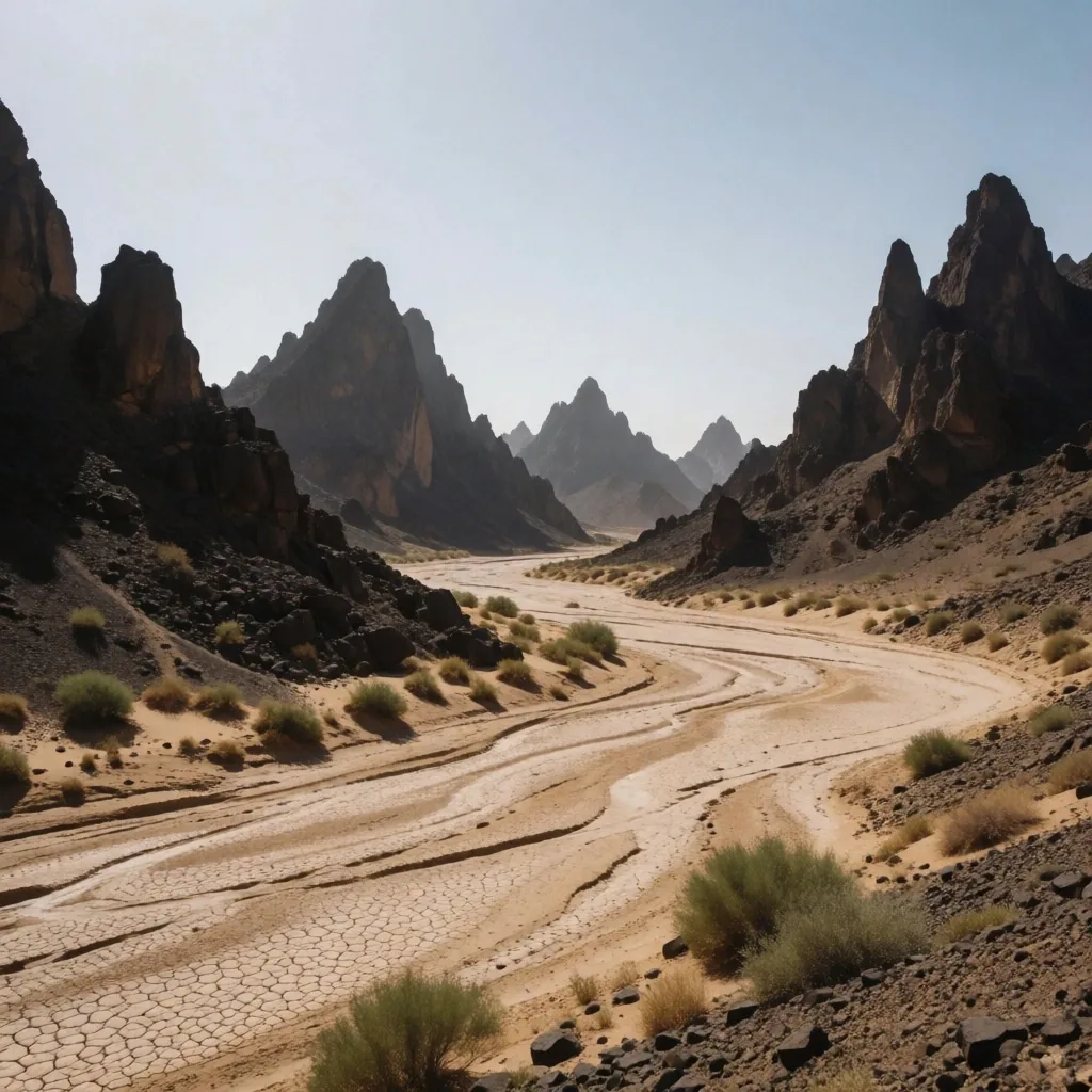
Eastern Desert wadi — a dry riverbed that carries flash water during rare rain events.
Chapter Three — The Rugged Corridor
Eastern Desert Highs
The Eastern Desert, located between the Nile and the Red Sea, is a rugged territory of volcanic mountains and dried-up riverbeds known as wadis. Unlike the relatively flat Western Desert, the Eastern region is mountainous — its peaks rise sharply from narrow valleys, and the wadis between them serve as the only natural corridors for travel.
This area has historically been a source of precious metals and stone. Ancient workings, slag heaps, and mine shafts still dot the wadi floors, evidence of extraction that predates the Roman period. Our guides detail the paths through these mountains, which offer spectacular views and a chance to see rare desert wildlife like the Nubian ibex — a wild goat that navigates the basalt cliffs with a sureness that borders on the improbable.
The terrain here is challenging but rewarding for the prepared trekker. Wadis can be walked, but they carry risk: a storm over distant hills can send a wall of water down a bone-dry channel within hours. Travel in the Eastern Desert means reading the watershed, not just the path.
Chapter Four — The Shifting Field
Navigating the Great Sand Sea
The Great Sand Sea is a massive field of longitudinal dunes that stretches for hundreds of kilometers. These dunes run in parallel lines, aligned with the prevailing wind, and they move — slowly, but measurably. Navigating this environment requires specialized knowledge and respect for the shifting terrain.
We provide an overview of the dune types — barchan, seif, and star — and the wind patterns that govern their movement. A seif dune can extend for dozens of kilometers in a straight line; a barchan migrates across flat plains in the direction of the dominant wind. Understanding which type you are looking at tells you which direction the wind has been blowing for centuries.
This section is intended to educate travellers on the scale and complexity of the sand landscapes. The Great Sand Sea is not crossed casually. Even with a GPS, a vehicle, and a guide, the field demands that you carry extra water, a shovel, sand ladders, and the patience to wait out a blow if the wind picks up and obliterates the track.
Dune Types at a Glance
Chapter Five — The Living Community
The Role of the Oasis
An oasis is more than just a watering hole; it is a complex social and agricultural ecosystem. The management of water is a central theme in these communities, with ancient systems of channels and wells still in use. In many oases, water is分配ed by community agreement — a rotation that gives each farmer a set flow for a set number of hours.
We look at the architecture of the oasis villages, often built from mudbrick to provide natural insulation against the desert heat. Mudbrick walls are thick — sometimes half a meter or more — and their mass absorbs the day's heat and releases it slowly through the night, keeping interiors within a narrow temperature band even when the outside swing is thirty degrees.
Our egypt travelling guides explain how these communities maintain their traditions in a modernizing world. Date cultivation remains the backbone of oasis agriculture. The date palm is uniquely suited to the desert — its roots reach deep for water, its fronds shade the soil beneath, and its fruit carries enough sugar to serve as a staple food. Beneath the palms, a second layer of cultivation — apricots, olives, and citrus — thrives in the filtered light.
Water Source
Nubian Sandstone Aquifer — fossil water tapped by boreholes and natural artesian pressure.
Building
Mudbrick with thick walls for thermal mass — cool by day, warm by night.
Chapter Six — Signs of Life
Desert Wildlife and Survival
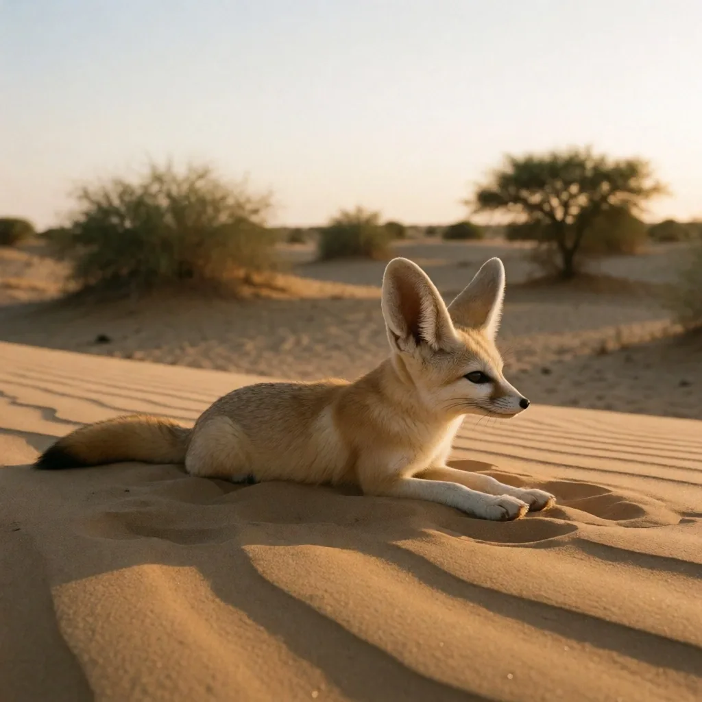
Life in the arid interior has evolved unique ways to cope with the lack of water and extreme temperatures. From the fennec fox with its large heat-dissipating ears to the resilient acacia trees, the desert is far from empty. Most desert animals are nocturnal or crepuscular — active at dawn and dusk — and spend the hottest hours in burrows or shade.
We provide information on the flora and fauna you might encounter on your journey. Recognizing tracks in the sand — the paired dots of a gerbil, the broad pad of a fox, the narrow groove of a snake — turns the ground into a record of the night's traffic. Understanding the tracks and signs of desert life enhances the experience of the wilderness.
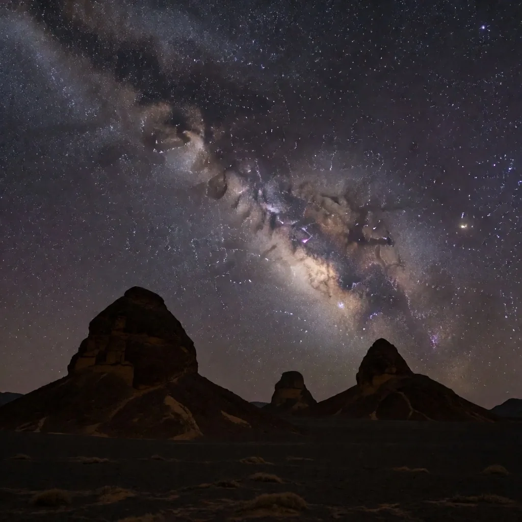
The Milky Way from the interior — among the clearest night skies on the planet.
Chapter Seven — The Celestial Desert
Stargazing and Night Skies
One of the greatest benefits of the remote desert is the lack of light pollution. The night skies in the interior are among the clearest on the planet, offering a perfect view of the Milky Way and the constellations. In the deepest oases, the nearest artificial light may be a hundred kilometers away. The sky does not just darken — it fills.
We provide tips on how to prepare for a night in the desert, including the necessary gear to stay warm as temperatures drop rapidly after sunset. A desert that reached forty degrees in the afternoon can fall to single digits by two in the morning. A sleeping bag rated for cold weather, a windproof layer, and a foam mat to insulate you from the ground are not optional extras — they are basic equipment.
The celestial display is a fundamental part of the desert experience. Ancient caravan travelers navigated by these same stars, and the major routes were timed to the rising of specific constellations. Sitting under the same sky connects your journey to that long continuity of wayfinding.
Chapter Eight — Preparation Protocol
Safe Passage and Logistics
Exploring the desert requires careful preparation and adherence to local regulations. We provide advice on vehicle requirements, water supplies, and communication tools. It is important to coordinate with local guides who understand the nuances of the terrain and the weather. Our travel guides emphasize the importance of safety protocols to ensure a positive experience in the wild.
The desert does not punish carelessness slowly. A broken axle fifty kilometers from the nearest track, a missed turn into a soft sand field, a radiator leak in the afternoon heat — each can become a serious emergency within hours. Preparation is not caution; it is the basic courtesy you owe the terrain.
Preparation Matrix — What to Carry and Check
Chapter Nine — The Old Roads
Ancient Trade Routes and Caravans
The desert is crisscrossed by paths that have been used for thousands of years by traders and pilgrims. These routes connected the Nile Valley to the heart of Africa and the Mediterranean coast. Goods moved in both directions: gold, ivory, and slaves northward; grain, textiles, and pottery southward.
We trace the history of these journeys and the landmarks that helped travellers find their way. Cairns, inscribed rocks, and the ruins of waystation forts mark the old roads. Many modern tracks follow the same lines — the terrain that made a route sensible in antiquity still makes it sensible today.
Recognizing the historical significance of the trails adds a sense of continuity to your own exploration. When you walk a wadi that carries a caravan route, you are following a line of footsteps that stretches back further than most written records.
Chapter Ten — Deep Water
Thermal Springs and Natural Wells
Many of the oases are famous for their natural thermal springs, which are said to have therapeutic properties. These waters rise from deep underground and vary in temperature and mineral content. Some emerge at bath-water warmth; others are hot enough to scald and must be mixed with cooler water before use.
We describe the most significant springs and the traditional etiquette for using them. In many communities, springs are shared resources — used for drinking, irrigation, and bathing in turn. Visitors should ask locally before entering a spring, dress modestly, and avoid using soap or detergent in water that feeds irrigation channels.
These sites offer a unique way to relax and connect with the geology of the region. The warmth of the water is the heat of the earth itself — rising from depths where the rock still holds the temperature of its formation.
Continue the Journey
More travel guides for the traveller into Egypt
The desert is one chapter of a larger landscape. Egypt's coastlines, the Nile valley, and the walking routes through older settlements each carry their own geography, weather, and preparation needs. The guides below cover those regions with the same field-manual approach.
Related Guides
Editorial Base
36FC+4MF, Mohammed Mazhar, Abu Al Feda, Zamalek, Cairo Governorate 11211, Egypt
Contact